
Sources for Belvidere Neighbors
No single public roll names all people on a Belvidere block. Boone County GIS supplies parcel shape and selected owner fields. The assessor adds the tax parcel card and a house-number-range search. Recorded deeds explain title, while a historical city directory can show who appeared at an address in one past year. Illinois voter lookup only tests a known person's registration facts. Community groups publish contact routes, not lists of private members.
| Block source | Public view of the block | How to reach it |
|---|---|---|
| Boone County GIS | Parcel edges, address points, roads, owner and mailing fields, municipalities and imagery | Free map and public parcel layer |
| Boone wEdge assessor | Owners, parcels, sales and assessments across a house-number range | Free public search |
| Boone Recorder | Recorded parties, liens, easements, plats and legal descriptions for chosen parcels | Free index; office books and workstations |
| 1919 street guide | A dated number-by-number view of people and firms on historic streets | Digitized scan or Ida Public Library |
| Illinois voter lookup | A match for one known registrant after personal details are supplied | Public match form, no block browse |
| City and civic records | Historic districts, public projects, association notices and address-keyed files | City pages or a focused FOIA request |
The distinction is vital. A parcel owner is not always an occupant. The GIS layer can show an owner mailing address that differs from the site's physical address, or no populated situs address at all. A city mailing label also does not prove that a lot lies within municipal limits. Treat each row as evidence of one fact, then seek a second source before connecting a living person to a place.
Map a Belvidere Neighbor Block
The Boone County GIS Property Maps viewer works best as a visual walk from one verified address. Its useful layers include ownership parcels, parcel dimensions, address points, roads, structures, municipalities, preannexations and recent imagery. It does not offer a finished list labeled “neighbors.” The map geometry decides which parcels touch.
- Validate the street spelling and postal form, then find the parcel in the assessor or GIS map.
- Turn on parcel boundaries, labels, address points, roads and municipality layers. Save the target PIN or PWD and legal description.
- Click each lot that shares a boundary and each parcel directly across the street. Note direction, owner field, mailing ZIP, acreage and legal description.
- Compare each parcel with the assessor record. Keep the situs and owner mailing address in separate columns.
- Use the assessor's number-range search when the question expands beyond the immediate block.
Corner lots, alleys, irregular rural tracts and subdivision outlots make a fixed radius less useful than direct map clicks. The public service has a 1,000-record maximum, so a broad technical query is only a sample, not a sound block export. For a whole named road and its ownership chain, use the Belvidere street directory method.
Read Belvidere Parcel Clues
Boone's ownership layer exposes both PWD and PIN, plus full street address, address municipality, address ZIP, owner name, owner mailing address, owner ZIP, acreage and legal description fields. Those labels solve different parts of a neighbor question. A PIN identifies the tax parcel. A legal description anchors the lot even if a road name changed. Owner fields describe the tax or map record, not everyone at the site.
- Parcel or PIN
- The county's identifier for a tract on the assessment roll.
- Situs address
- The physical location assigned to the parcel, when the field is populated.
- Owner mailing address
- The destination for owner correspondence, which may be another city or state.
- Legal description
- Lot, block, subdivision, section or boundary wording that follows the land.
A researched Boone sample had a blank full-street-address field but a Belvidere owner mailing address and a legal description. Another carried a Kirkland mailing address. These records show why neighbors cannot be inferred from the mailing field. Keep the source date too, since ownership and map layers change.
Check Belvidere Neighbors by Range
The Boone County Tax and Assessment Information portal has House Number Low, House Number High, Street Name and City fields. This makes it the practical text search for a short block face. Owner Name, Parcel Number, Legal Description, Township, Tax District, sale date and sale price can narrow the same set. Select the City of Belvidere tax district only when the district itself matters; do not use a postal city label as a boundary test.
The result can connect a parcel to the owner listed for tax purposes, assessed values, sale data, exemptions and legal geography. It still does not establish each current household member. Date-stamp the result because the inspected portal reported a recent data update. The GIS map should then confirm which of the returned parcels actually surrounds the target.
Belvidere Voters Are Not a Block Roll
The Illinois Online Voter Registration Lookup asks for a known person's first and last name, full birth date and five-digit ZIP. After ZIP validation, the process uses a street number and street-name selection. That design confirms a specific registration match. It does not reveal everyone who registered from a Belvidere street.
Illinois also controls statewide voter-file access and limits its use. Do not probe unknown households one by one or republish a registration match as a neighborhood directory. Some voters may use protected procedures, and the Attorney General's Address Confidentiality Program can supply a substitute address to qualifying survivors. For your neighbors, parcel adjacency and public civic contacts are the sound starting points.
Key distinction. A voter match, assessor owner, and GIS mailing field each answer a different question; none proves a full household.
Belvidere Neighborhood Contact Points
Public community pages add local context without exposing private rosters. The Prairie Place Home Owners Association publishes updates, annual-meeting material and a Neighborhood Watch Corner. Its public contact is PO Box 574, Belvidere, IL 61008, 815-323-9946, and hoa@belvidereprairieplace.com. The site does not publish a member directory, so an address should not be treated as proof of membership.
Prairie Place HOA
Public notices, meeting updates, watch information, email and phone. No public household roll was found.
Community Policing
The city coordinator works with neighborhood groups, schools and watch programs. No central association list is posted.
Historic Preservation
Public agendas and minutes add address and district context, not a private resident list.
The Belvidere Community Policing Coordinator is the best official route when a current watch or neighborhood contact is not listed. Congregation, club and private watch rosters were not found as official public sources. Contact the organization and follow its rules rather than inferring a private tie from a nearby address.
The public Prairie Place source shows what a Belvidere neighborhood site makes available.
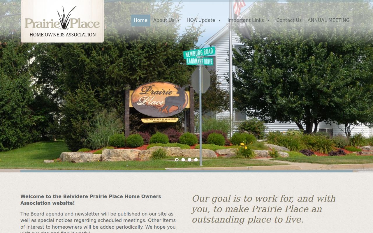
Its notices and contact route support community outreach while keeping member identities off the open page.
Historic Belvidere Neighbor Geography
Belvidere's civic districts can explain why two close addresses have different review rules or public files. The West Hurlbut Avenue local historic district covers the 200 through 400 blocks and requires review for exterior changes. Courthouse Square and State Street survey material mark an older urban core. These are geographic and building records. They are not lists of residents.
The National Register district page shows public preservation geography used in block research.
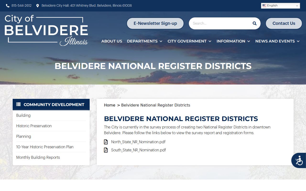
District maps and nominations can tie a parcel to a recorded place and era without making claims about present occupants.
The Historic Preservation Committee publishes civic records for these areas.
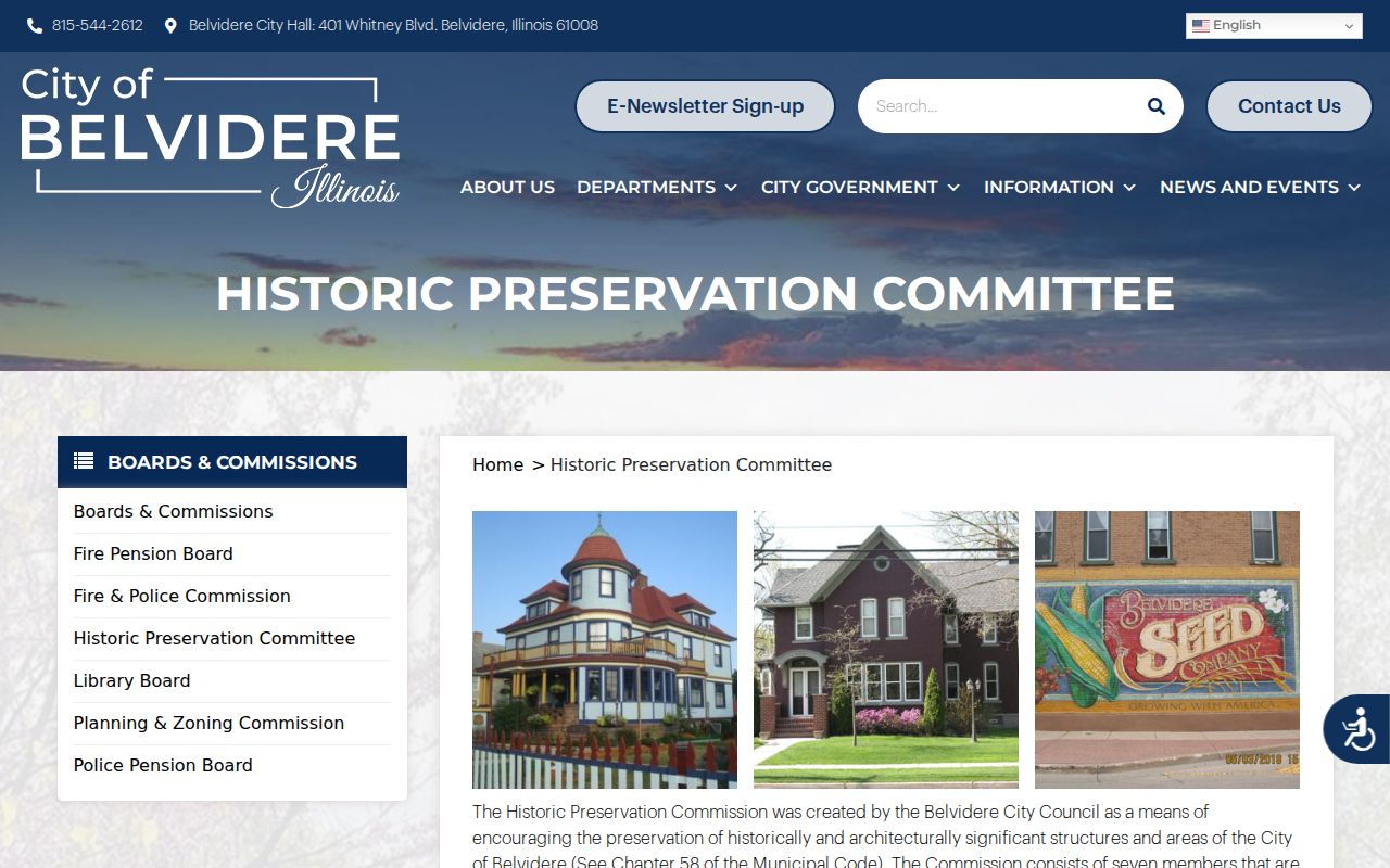
Agendas and minutes may name owners, applicants, sites or projects when they enter a public proceeding.
Belvidere Neighbors in 1919
McCoy's 1919 city directory gives a rare block-scale comparison with the modern parcel map. Its State Street guide placed the Leland Hotel at 101 through 105, named people and firms at 107 and 109, listed a business across 113 through 117, and separated entries at 118 and 118½. The same volume called State the main business street and the dividing line between east and west numbering.
This old guide names occupants or firms as the publisher recorded them. Modern GIS names parcel owners and mailing fields. Neither is a full household list, but together they show how the meaning of “neighbor” changes with the source and date. Verify OCR against the page image, then use a Sanborn sheet or historic survey to connect an old number to a structure. Never assume an old number maps directly to today's parcel.
Request Belvidere Block Records
Some address evidence exists only in city files. Belvidere Building handles permits, inspections, zoning and property-maintenance work, but no public permit-by-address index was found. Planning holds annexation, subdivision, zoning and land-use material. The City Clerk routes requests for Building, Street, Planning, Water/Sewer and other departments.
The Belvidere FOIA page lists the written request channels for address-keyed public records.
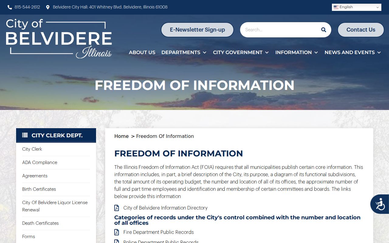
A narrow request should name the street address, department, record type and date range. Illinois FOIA does not override a protected address, sealed court file or another confidentiality law.
Official Belvidere Neighbor Evidence
Compiled commercial neighbor tools can merge people with similar names, keep stale addresses, and hide the source date behind a paid report. Original public records are narrower, but each has a named custodian and a correction route. Use a compilation only as a lead, then return to the parcel, deed, directory or city record.
| Source type | Best use | Main caution |
|---|---|---|
| County GIS and assessor | Parcel adjacency and listed ownership | Owner is not the full household |
| City or civic record | Public project, district and association context | Public contact is not membership |
| Historical directory | A dated occupant or business snapshot | Years are incomplete and OCR can err |
| Commercial compilation | Possible name or address lead | May be stale, merged or hard to correct |
Record the exact page, portal update or document date. If a public field is wrong, contact the assessor, GIS office, recorder, clerk or library that maintains it. Suppressing a commercial profile does not remove the underlying public record.
Limits on Belvidere Neighbor Lookups
Utility customers, delivery records, DMV addresses and private organization rosters are not valid public substitutes for missing neighbors. Illinois limits driver-record data, voter access, vital copies and protected addresses. Court records may be sealed, impounded or confidential. The Address Confidentiality Program does not erase every older public record, and it cannot make property records confidential, but a researcher should never try to uncover or publish a protected person's location.
The city community-policing page describes lawful public partnership with neighborhood groups.
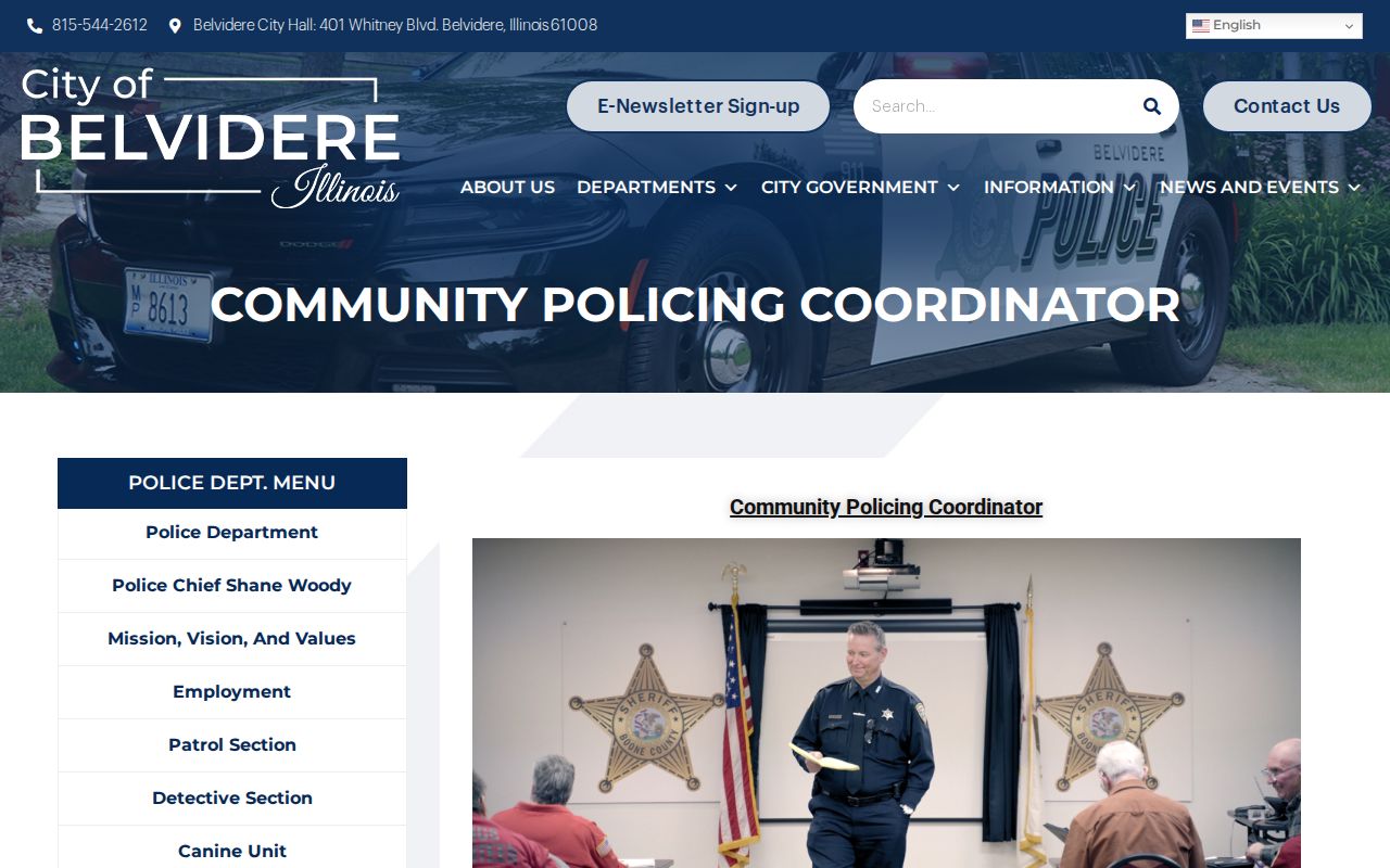
That route supports shared civic concerns without turning a block search into surveillance of individuals.
Lawful use. Use Belvidere neighbor records for civic curiosity, family history, public projects, and respectful contact. Never stalk, threaten, harass, or expose a protected address.