
Walk a Belvidere Street
A useful street-by-street search moves from the modern address to the parcel, then from the parcel to records created for other purposes. It avoids the common mistake of treating the first owner name as a complete answer. Write down each source date and preserve the exact spelling of every name and street.
- Validate the delivery spelling and ZIP through USPS.
- Search Boone wEdge by house-number range, street name, and city.
- Open Boone GIS, identify the parcel, and record PIN or PWD, legal description, municipality, and adjacent lots.
- Search the current owner in Fidlar as a recorded party, using deed type and legal clues.
- Check a known voter only through the individual Illinois match process.
- Use Ida Public Library's street guides and maps for a past household.
The chain produces different kinds of proof. USPS validates delivery geography but not a person's link to an address. The assessor names an owner, not all occupants. A deed records a legal transaction. A historical directory is a dated snapshot. Together, they support a far sounder Belvidere street directory result than any one source alone.
Belvidere Street Range Search
The Boone wEdge assessor portal has separate House Number Low, House Number High, Street Name, and City fields. That makes it possible to browse a segment instead of repeating isolated address searches. Owner Name reverses the search direction, while Parcel Number and Legal Description help when a street label changed or the physical-address field is blank.
| Assessor field | Input type | Street-directory use |
|---|---|---|
| House Number Low | Text | Start a numbered segment |
| House Number High | Text | End the segment |
| Street Name | Text | Pair with the number range |
| City | Autocomplete | Narrow community context |
| Owner Name | Text | Reverse from person to parcels |
| Legal Description | Text | Bridge old lot or subdivision text |
| Tax District / Township | Multiselect | Resolve city and rural context |
The county property-information page links the official assessment and map tools shown here.
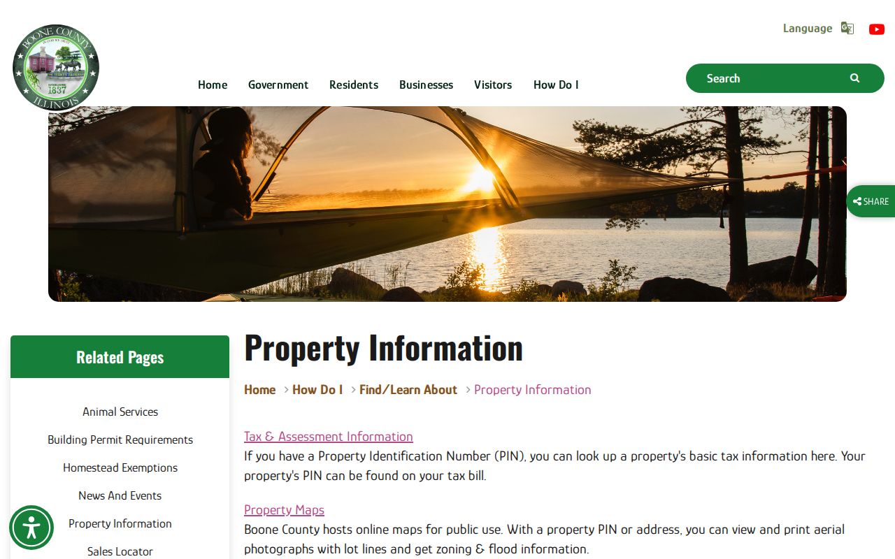
The county gateway is useful when a saved portal link changes and confirms that assessment and GIS are separate official sources.
Map Belvidere Streets in GIS
The Boone County GIS office provides free public mapping. In the viewer, zoom to the street and turn on Ownership Parcels, Parcels and Dimensions, Address Points, Roads, Municipalities, and preannexation layers. Click the target parcel, then each parcel touching it or directly across the road. GIS has handled county cadastral, or property-line, mapping in-house since 2009.
The ownership layer can expose PIN, PWD, full street address, address municipality and ZIP, acreage, legal description, owner names, and owner mailing fields. Its service limit is 1,000 records, so a broad technical query is not a complete street export. Map clicks and assessor ranges are safer for a defined segment.
Review Boone's mapping scope in the captured GIS guidance.
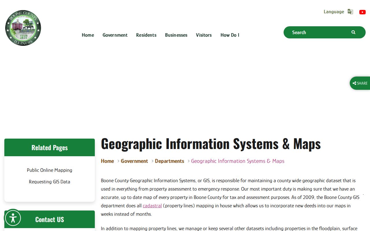
The guidance places parcel mapping and data requests with the GIS office, while ownership values remain with the assessment system.
The public Ownership Parcels service displays the address and owner schema captured below.
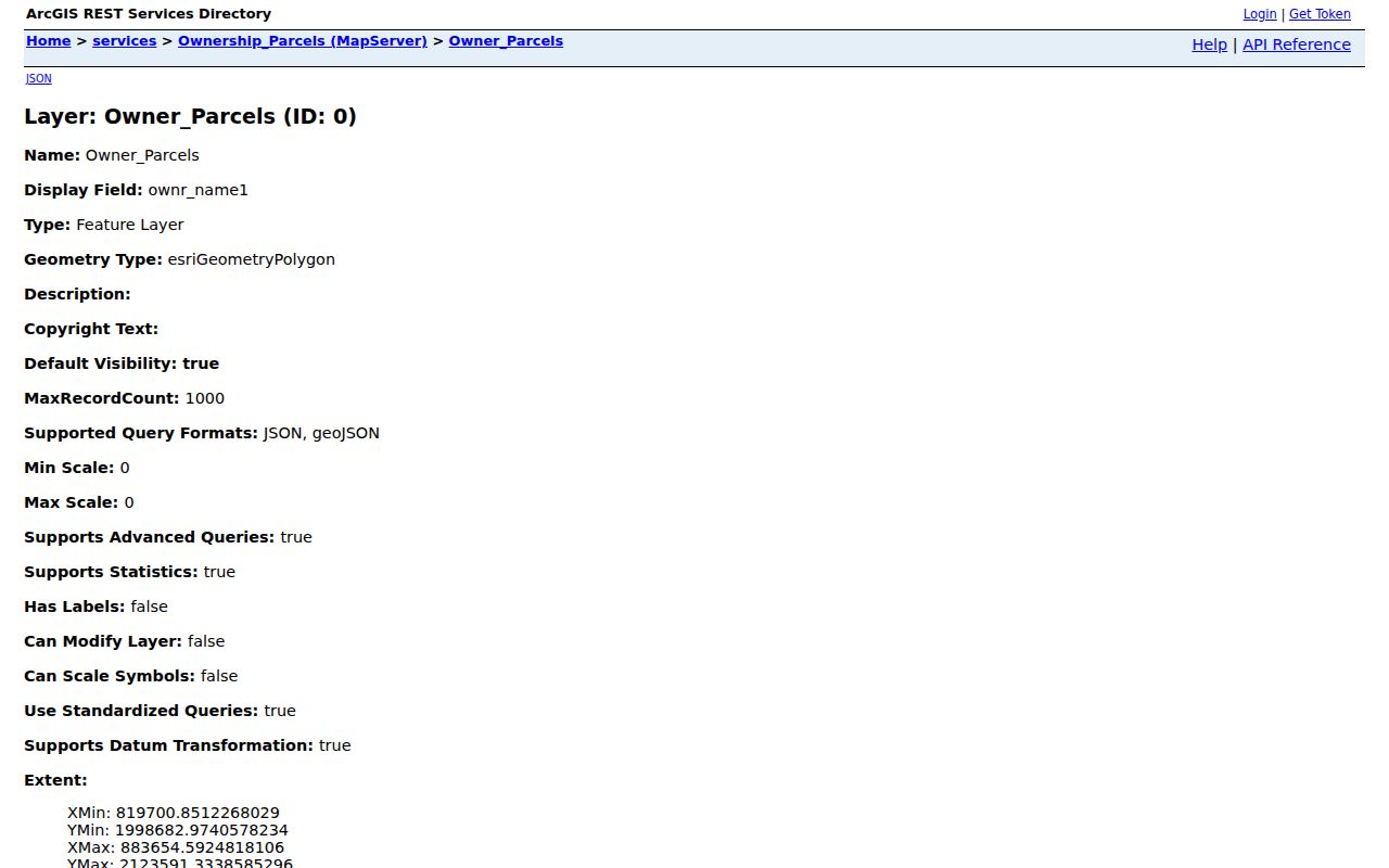
Separate owner-address fields from full street-address fields when transcribing a parcel popup.
Belvidere Situs and Mailing Addresses
A situs address is the physical location used for a parcel. The owner mailing address is where the tax notice goes. They may match, but Boone's own sample records show why they cannot be merged. One rural legal-description parcel had a blank full street-address field while its owner received mail in Belvidere. Another record had a Kirkland mailing address.
A trust, company, agent, or out-of-area owner may receive the bill. Label street-directory notes as Parcel/Situs, Owner Mailing, Legal Description, PIN/PWD, and Source Date. Never put the mailing address into a claimed occupant list. If the situs is blank, retain the parcel geometry and legal description instead of inventing a street number.
- Parcel
- A legally defined unit of land in the assessment and GIS systems.
- Situs address
- The physical address assigned to the property.
- Plat
- A recorded map of lots, blocks, streets, or a subdivision.
- Criss-cross directory
- A directory arranged by address, useful for moving from a street number to a dated occupant.
Belvidere Records Keyed by Street
The Belvidere street directory depends on several address concepts. Only the assessor has a direct house-number range form. GIS adds geometry. Fidlar uses parties and legal descriptions because its Address and Parcel controls are disabled. City records may be address-keyed but require a focused request. The voter tool verifies one known registration rather than listing a block.
| Record set | Address key | What it shows | Access |
|---|---|---|---|
| Boone assessment roll | Number range, street, city, parcel | Owner, site and mailing fields, sales, districts | Free wEdge or office |
| Boone GIS | Map click, geometry, PIN/PWD | Parcels, roads, owner fields, municipality | Viewer, REST layer, data request |
| Recorded documents | Party, date, type, subdivision, lot/block | Deeds, liens, easements, plats, legal text | Fidlar, Laredo, books, copies |
| City building and planning | Address, permit, approximate year | Permits, inspections, zoning, public works | Department or FOIA |
| Illinois voter match | Known person, ZIP, number, street | Individual registration match | Official match form |
| Historic street guide | Old number and street | Dated occupants and businesses | Ida or digitized volume |
The record sets chain through PIN, legal description, owner name, or exact street text. Keep source-specific limits beside every extracted fact.
Turn Belvidere Owners Into Deeds
Fidlar's Boone recorder index cannot search by address or parcel in its current configuration. Start with wEdge, record the owner exactly as displayed, then search that name as a party. Add a date range or deed type when needed. Compare the returned legal description, subdivision, lot, block, document number, recorded date, and Party 1 and Party 2 before attaching the instrument to the parcel.
The seller on a purchase deed becomes the next name in a backward chain. A grantor transfers an interest; a grantee receives one. When the online view ends, use one of three public Laredo workstations, property books, microfiche, paid Tapestry service, or an office copy request. IRAD at NIU holds older deed series, but the live Fidlar cutoff is not published.
A street-wide study should use assessor ranges and GIS parcel clicks, then inspect selected deeds. Fidlar is not built as a bulk Belvidere street directory. A recorded party may also appear on other parcels, so legal-description matching is essential.
Request Belvidere Address Files
The City Building Department handles permits, inspections, additions, rehabilitation, zoning, and property-maintenance compliance. Its public page does not expose a permit-by-address database. Ask the department or file a focused City of Belvidere FOIA request that states the address, parcel number if known, approximate year, permit or case type, and desired item.
Belvidere accepts city record requests in person, by mail, email, fax, or online. The City Clerk page says the first 50 black-and-white letter or legal sheets are free. Planning records can add annexation, subdivision, zoning verification, variance, rezoning, or public-improvement context, but a permit proves work or review, not who occupied the address.
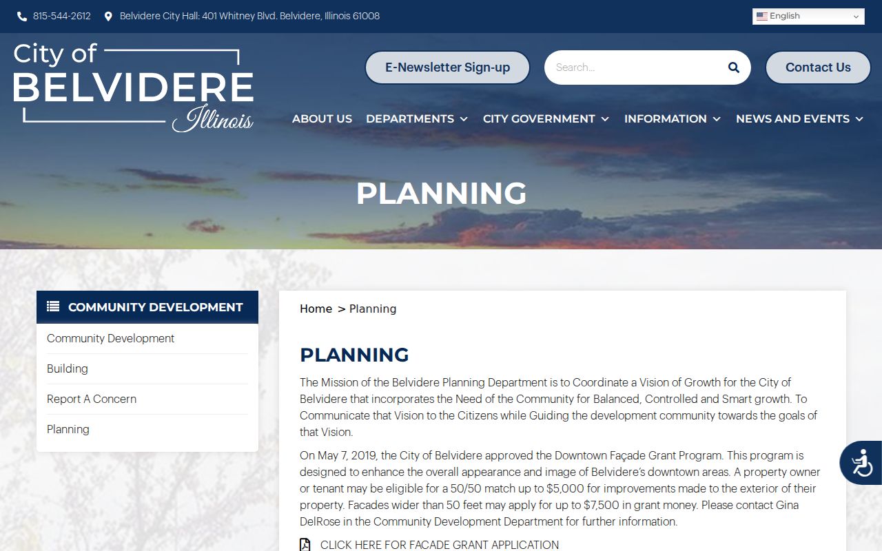
Recent planning records matter at the city edge, where municipal status and the postal label may not match.
Bridge Old Belvidere Street Names
Belvidere's verified street history supplies two important bridges. East Street became Hurlbut Avenue after General Stephen A. Hurlbut. Baker Street had earlier been Pearl Street, and Pearl was later reused nearby. The 1919 McCoy directory also describes State Street as the main business street and the divider between east and west numbering.
No official source established a citywide street-renumbering year. Do not force an old number onto a modern parcel. Compare the 1909 county history, the 1919 street guide, the December 1904 ten-sheet Sanborn map, historic plats, legal descriptions, county GIS, and planning or annexation ordinances. A Sanborn sheet can show a building footprint and use, but not an occupant.
The 1919 State Street guide offers a concrete address sequence, with businesses and people listed at 101 through 118½. That historic block can be checked against the Sanborn map and later directories. The result is dated address-to-name evidence, not a claim about a current resident.
Numbers in context. The GIS service caps a query at 1,000 records, while a historical street guide preserves only the places included in that edition.
Historic Belvidere Street Geography
Historic districts can explain why a street file contains surveys or exterior-review records. The West Hurlbut Avenue local district covers the 200 through 400 blocks and requires a Certificate of Appropriateness for exterior changes. Courthouse Square survey material identifies development patterns and surveyed resources within its district context. Neither is a private resident roster.
The city describes West Hurlbut and its preservation process on the source shown here.
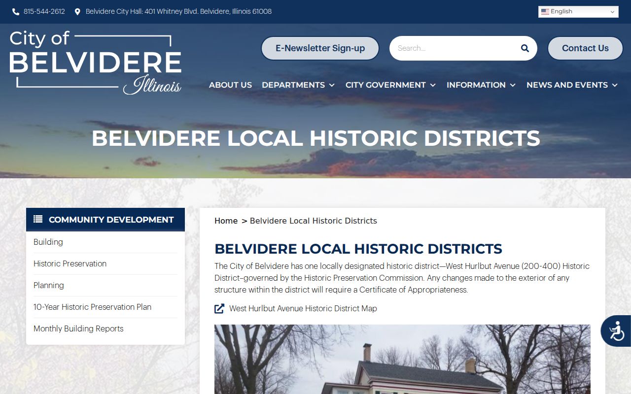
District status adds building and civic geography to an address search without substituting for owner or occupant evidence.
Historic sources also record the original street grid, including Harrison, Marshall, Jackson, Boone, Perry, Madison, Van Buren, Webster, Hancock, and Wayne. Main, Boone, and State were described as six rods wide, while other original streets were four rods. Those old measurements help interpret plats but are not current survey data.
Validate Belvidere Street ZIPs
The official evidence verifies 61008 as Belvidere's main postal pattern. Use USPS ZIP Code Lookup in full-address mode with street, city, and Illinois. A returned ZIP or ZIP+4 validates delivery geography only. USPS expressly warns that the result does not confirm that any person or business is associated with the address.
The USPS address form and warning appear in this street-directory capture.
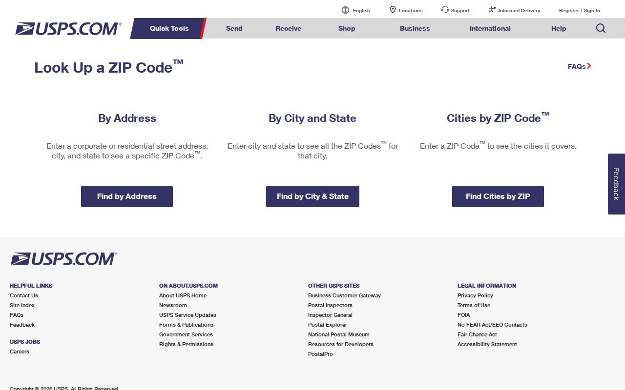
Save the normalized postal form separately from the parcel situs, owner mailing ZIP, and municipal status.
A Belvidere mailing city may reach an unincorporated or recently annexed parcel. County GIS municipality and preannexation layers, plus city planning ordinances, resolve government jurisdiction. The research did not verify an official 61009 result for Belvidere, so it should remain a gap rather than a guessed coverage claim.
Belvidere Street Directory Limits
A public parcel search usually identifies the tax-record owner, not every occupant. Illinois does not offer an unrestricted voter block browse through its public match form. Utility-customer lists and delivery records were not found as public sources. Driver address information is restricted, while sealed files and Address Confidentiality Program records require special care.
Historical directories are also incomplete. A missing entry can reflect a missing year, changed spelling, OCR error, relocation, or an address change. An owner mailing city may differ from the parcel. Every Belvidere street directory conclusion should state which source supports it and when that source was current.
Lawful use. Use Belvidere address records for legitimate personal, family, civic, or property research, never to stalk, harass, threaten, intimidate, or harm anyone.
When the question shifts from a modern parcel to an older occupant, consult the Belvidere city directory collections. Their dated street guides are more suitable than a current owner roll for historical households.