
Belvidere Previous-Resident Source Eras
One Belvidere address can pass through several record eras. The most recent parcel card supplies the owner name and legal description needed to enter the deed index. Directories and census schedules then add the household layer. Maps, permits, newspapers, and probate files help explain changes that a name index alone cannot show.
| Source | Local years covered | Where held | Evidence about the address |
|---|---|---|---|
| Boone deed records and index | IRAD deeds 1837–1964; index 1837–1977 | Recorder books, microfiche, IRAD | Transfers, parties, legal description |
| Assessor ownership | Maintained since 1971 | Boone wEdge and Assessment Office | Current owner, mailing and situs data, sales |
| Belvidere city directories | 1894 onward in 2015 finding aid; incomplete | Ida library and scanned volumes | Names, addresses, spouse and work clues |
| Federal census | Public through 1950 | Census and genealogy databases | Household members at decade points |
| Sanborn map | December 1904, ten sheets | Library of Congress | Building footprint, use, stories, street continuity |
| Obituaries and newspapers | 1849–1977 online in library; 1977–2024 microfilm | Ida local-history room | Relatives, death, former address and moves |
| Probate | IRAD index 1840–1940; cases 1840–1957 | Circuit Clerk and IRAD | Estate, heirs, fiduciary and transfer endpoints |
Start with the source closest to the period in question. Current work begins with the assessor. A 1910s question begins with a city directory and Sanborn sheet, then tests names against deeds and census schedules. For nineteenth-century work, expect an office or archive route rather than a complete web search.
Start Belvidere Address History Today
The Boone County Tax and Assessment portal can be searched by site address or owner. Record the parcel identification number, also called a PIN or PWD, along with the exact owner name, parcel or situs address, owner mailing address, legal description, sale date, subdivision, lot, and block when shown. Situs means the physical location of the parcel. The mailing address is where the tax notice goes, which may be elsewhere.
Keep those fields separate. An owner can be a trust or company, and a Belvidere mailing address can belong to a rural parcel with no populated situs field. Ownership does not prove that the named party lives at the property. It is the starting key for finding the latest recorded transfer.
A visit to the City of Belvidere history page gives the local development context shown in the captured image.
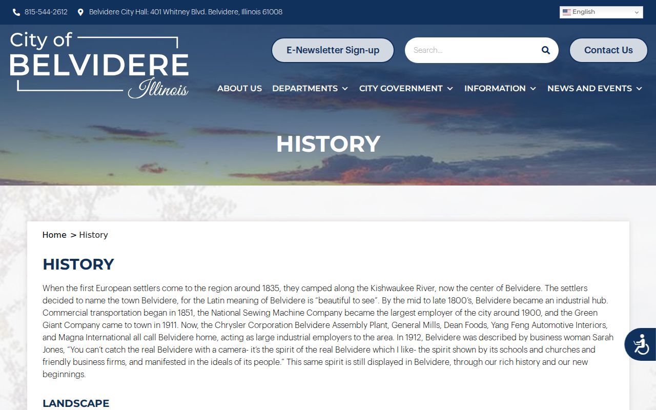
The city’s county-seat role, street core, rail links, and industrial growth help explain why older resident records may point to a firm, railroad, or former street name as well as a home.
Walk Boone County Deeds Backward
After the parcel card identifies today’s owner, use the free Boone Fidlar DirectSearch party index. Boone’s configuration disables the address and parcel fields. Search the owner as a grantee, the party who received the property, and use the recorder’s preferred full spelling with a middle initial when known. Add a deed type or date range if the result set is broad.
- Copy the current owner and legal description from the assessor record. Confirm parcel geometry in Boone GIS.
- Find that owner’s purchase deed as a grantee. Record document number, type, date, Party 1, Party 2, and the legal description.
- Identify the seller, or grantor. Search that person next as an earlier grantee to find how the seller acquired the same land.
- Compare the legal description, subdivision, lot, and block at every turn. A matching surname can own a different parcel.
- Repeat until the online results stop. Then take the last name, date, document number, and book/page to a public workstation or archive.
- Grantor
- The person or entity transferring an interest in the recorded instrument.
- Grantee
- The person or entity receiving that interest.
- Chain of title
- The linked series of transfers for the same land.
- Legal description
- The recorded land wording that remains useful when a street name or number changes.
The index can show recorded parties, document types, dates, numbers, and legal text. Its free configuration does not expose document images. A deed can establish ownership, but it does not list every past resident who lived at the site.
When Belvidere Deeds Leave the Web
The county does not state the earliest year available in Fidlar. Do not assume it reaches 1837 merely because older county books survive. Boone County provides three public Laredo workstations, property books, and microfiche for deeper work. The Recorder’s recording information page, captured below, explains the office route and copy resources.
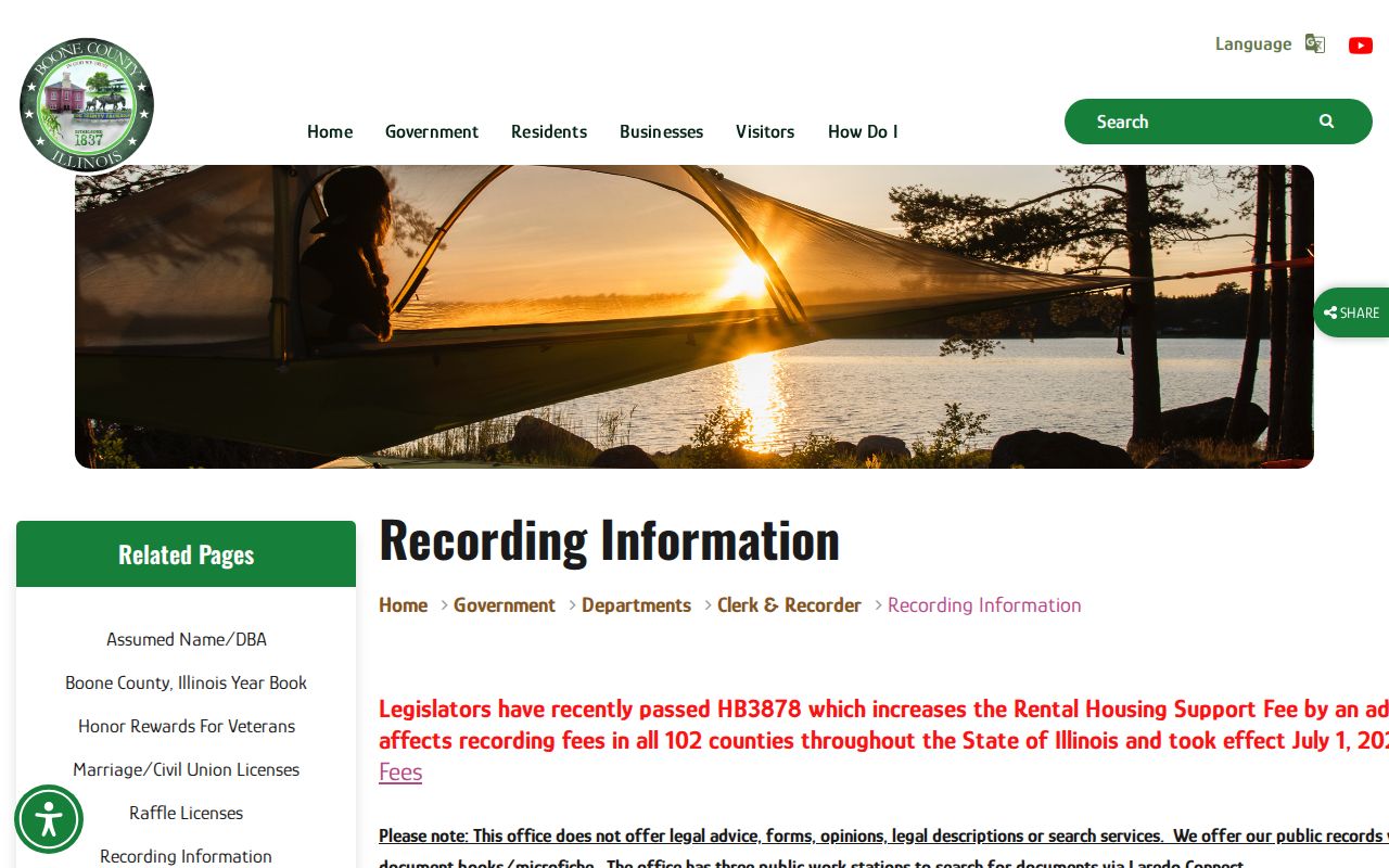
The capture connects the online index with in-person access. Use the document number or book/page to request an image or copy. The Recorder does not prepare forms, interpret a legal description, give legal advice, or conduct a broad title search for the requester.
IRAD at Northern Illinois University is the older fallback. Its Boone holdings list deed records for 1837–1964 and deed indexes for 1837–1977. The current county page says land transactions begin in 1838, so cite the exact office or archival series when using a start date. A focused archive request should name the record group, party, date range, and any book/page already found.
Archive tip. Keep the last verified legal description and both party names. They make a public-terminal or IRAD search far more precise.
Bridge Old Belvidere Street Names
Address text is not always stable. A 1909 Boone County history says East Street became Hurlbut Avenue after General Stephen A. Hurlbut. Baker Street had earlier been Pearl Street, and Pearl was later reused in a relative location. The 1919 McCoy directory describes State Street as the main business street and the divider between east and west street numbering. These are verified bridges for old entries.
No official source established a citywide street-renumbering year. Never force an old number onto a modern parcel by intuition. Compare the old directory’s street guide, the 1904 Sanborn sheets, historic plats, county maps, a legal description, and current parcel geometry. The City’s Courthouse Square and West Hurlbut survey material can also identify a structure’s historic district, development period, or survey number.
The 1904 Sanborn map shows footprint, construction, use, stories, alleys, and nearby buildings. It does not name the person living inside. Match it with a directory entry from the nearest available year and a deed tied to the same legal land.
Note: An owner mailing address is not a parcel address, and neither field alone proves who occupied a Belvidere home.
Find Past Belvidere Households
Owners are only half the previous-resident question. Belvidere city directories can show names, spouse notation, occupations, boarders, phones, and an address snapshot. Their street guides reverse the path, moving from house number to the listed people or businesses. Ida’s finding aid says the series starts in 1894 but is incomplete. Digitized checkpoints exist for 1896–97, 1910–11, 1919, and 1927.
Pair those years with census schedules to build a household view:
- Locate the address or person in the closest available directory and copy the entire line and page citation.
- Read nearby street numbers to make sure the right block and east/west side have been identified.
- Compare the 1919 directory with both the 1910 and 1920 census, or the 1927 directory with the 1930 census.
- Track each named spouse, child, boarder, or relative separately, allowing for initials and surname changes.
- Return to the next available directory to test whether the household remained, moved, or simply fell into a missing year.
The 1890 federal census is nationally missing, and the 72-year release rule makes 1950 the latest public census. Directories, deeds, newspapers, and maps help fill those gaps. The collection details and entry marks are covered in the Belvidere city directory archive.
Ida Helps Trace Belvidere Residents
Ida Public Library does not publish a separate house-history guide, but its staff-assisted local-history room brings the needed parts together. Call 815-544-3838 or email localhistory@idapubliclibrary.org before visiting 320 N. State St. Ask staff to confirm the exact directory year, map cabinet, obituary-file method, and microfilm reader process. A parcel PIN, historical street spelling, and narrow date range will make the visit more useful.
The collection includes Boone County research files, cemetery indexes, church material, city and business directories, phone books, local newspapers, yearbooks, obituary files, family histories, map indexes, and limited deed or mortgage microfilm. Newspapers cover 1849–1977 through in-library Newspapers.com access and 1977–2024 on microfilm. Yearbooks are online for 1912–1926 and held in the library from 1926 onward.
A useful visit sequence starts at the directory shelf, moves to the street listing and map, then checks obituary or newspaper files. Photograph the title page and page number along with the entry. Next, take the corrected name and date to the Recorder, Circuit Clerk, or IRAD. This keeps an old clue distinct from a claim about a current person.
Close a Belvidere Resident Trail
When a person vanishes from a directory, look for a documented transition. An obituary can identify a spouse, children, cemetery, former city, and funeral details. A probate file can name heirs, a personal representative, or property in an estate. A later deed may show an executor, trustee, transfer-on-death instrument, or release of an estate’s interest. None of these should be used alone when another record can confirm the link.
The Boone Circuit Clerk keeps current court files, while IRAD lists probate case files from 1840–1957 and an index from 1840–1940. The Circuit Clerk’s older court-record access page is shown in the captured image.
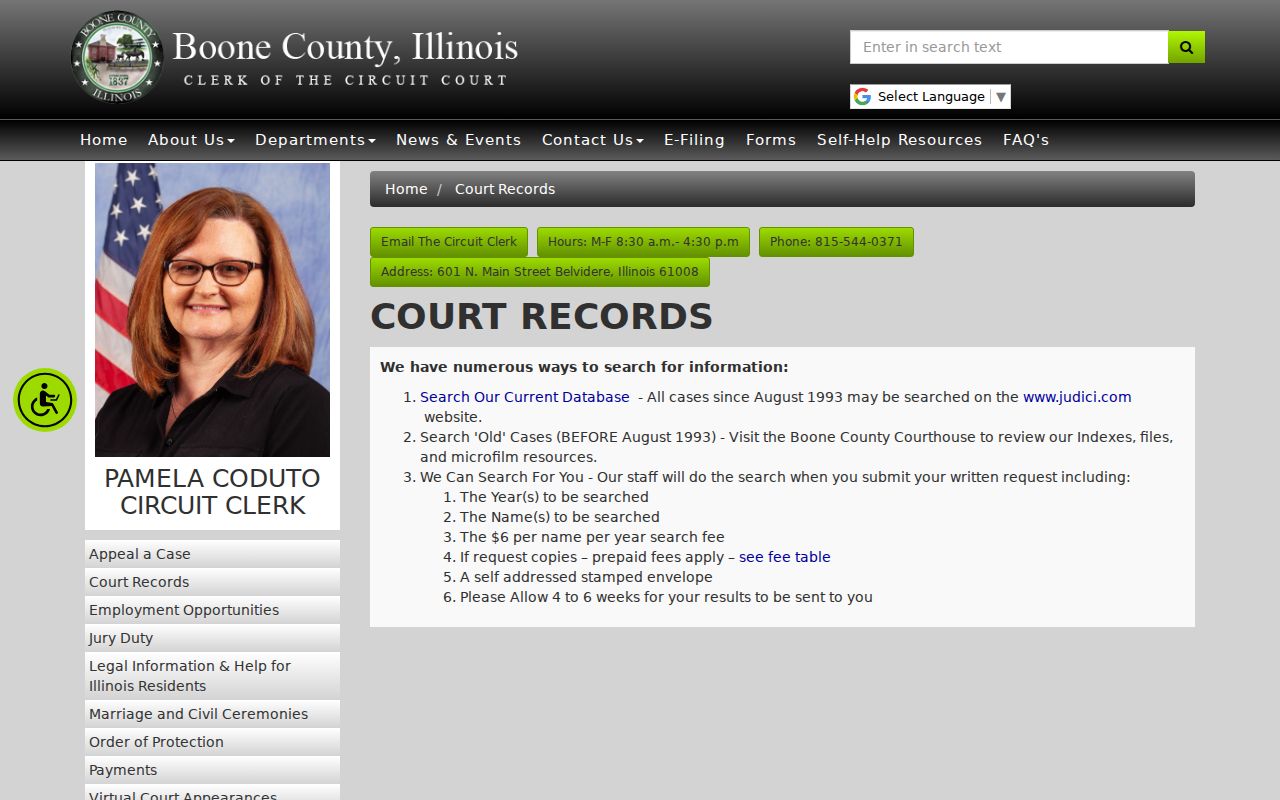
The page supports a courthouse-based fallback when a record is too old for the online case index. Bring a case number when possible, or a name and narrow year range for the older index and microfilm route.
Building records can supply one more date. Belvidere’s Building Department handles permits, additions, rehabilitation, inspections, zoning, and property maintenance, but it offers no public permit-by-address database. A focused City FOIA request should give the address, PIN, permit type, approximate year, and desired file. A permit dates work on the site; it does not prove who lived there.
Lawful use. Research previous residents for family history, estate work, or the history of a Belvidere house. Never use records to track, harass, or harm a living person.