
Belvidere ZIP Directory Coverage
Official sources consistently show 61008 for Belvidere City Hall, Boone County offices, Ida Public Library, Prairie Place HOA, and the Belvidere Post Office. That makes it the verified principal postal pattern. The research did not expose an official USPS city-and-state result that confirms 61009 for Belvidere. A cautious ZIP code directory keeps that gap visible rather than copying a third-party list.
| ZIP | Areas Covered | Post Office | Notes |
|---|---|---|---|
| 61008 | Verified Belvidere mailing addresses | Belvidere Post Office, 1800 Doc Wolf Dr. | Principal official pattern; verify each full address |
| 61009 | Official Belvidere coverage not established | Not located in official sources | Verification gap; do not assume citywide use |
Postal codes describe delivery routes, not residents or municipal government. Even within 61008, a mailing address can point to the historic core, a newer subdivision, a rural legal-description parcel, or land near the city edge. Always validate the whole address.
Belvidere Postal Source for 61008
The USPS Belvidere Post Office listing verifies the station at 1800 Doc Wolf Dr., Belvidere, IL 61008-1801, with phone 815-547-5457. The station page is a strong source for the local postal label and current services, but it is not a resident roster or a map of every address using the code.
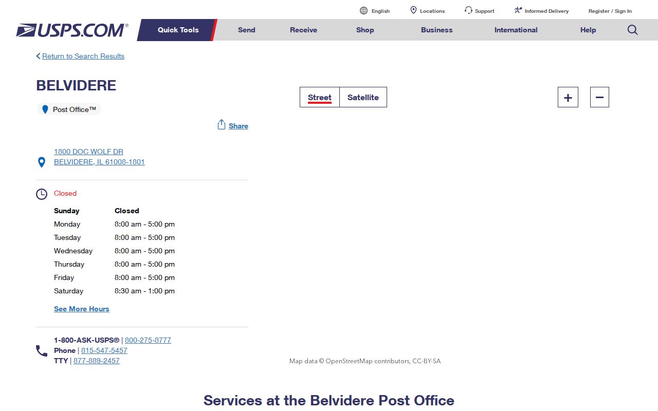
The captured USPS details support the verified 61008 row. Check the live listing before relying on hours because counter and collection schedules may change.
A ZIP+4 such as the post office’s 61008-1801 narrows delivery more than the five-digit code. It should still be copied only from USPS output or an official mailing address, not inferred from a parcel number or nearby property.
Verify Belvidere ZIP Code Fields
The USPS ZIP Code Lookup has two useful modes. City and state can return ZIP codes linked to a postal city label. Full-address mode is better for one parcel because it checks a delivery address. USPS warns that a result does not confirm that a person or business is associated with that place.
| Field | Type | Required | Use |
|---|---|---|---|
| City | Text | Yes in city/state mode | Enter Belvidere |
| State | Dropdown | Yes | Select Illinois |
| Company | Text | No | Optional business line |
| Street address | Text | Yes in address mode | Complete delivery street |
| Apt/Suite/Other | Text | No | Unit detail |
| ZIP Code | Text | No | Test a known value or receive one |
Save the normalized output exactly as returned, including unit and ZIP+4 when present. Then check municipal status separately. A postal city name is not proof that the parcel is governed by Belvidere.
Find Belvidere Residents by ZIP
Local systems use ZIP fields in different ways. The voter form requires a five-digit ZIP to match one known person. GIS stores Address ZIP and Owner ZIP as separate fields. The assessor can display situs and mailing codes, though its visible search does not offer a dedicated ZIP input. The Recorder disables address and parcel fields altogether.
- Verify delivery. Submit the complete address to USPS and save the normalized result.
- Check the parcel. Search Boone wEdge by street, owner, or parcel; compare situs and owner-mailing ZIP.
- Map municipal status. Use Boone GIS municipality and preannexation layers rather than the postal label.
- Match one person only. Use a known name, birth date, ZIP, and street in the authorized Illinois voter workflow.
- Narrow to a street. Once the area is known, follow the Belvidere street directory for address-level work.
This sequence prevents a ZIP-wide search from being mistaken for a list of occupants. A property owner, owner mailing address, registered voter match, and current resident are four different claims.
Belvidere ZIP Fields in Records
The Boone wEdge portal searches by owner, parcel, site address, sales, tax code, district, township, and legal description. There is no visible ZIP-only box. A result may still show postal fields. The GIS ownership service adds Address ZIP and Owner ZIP, which are useful for comparison, not interchangeable.
| Source | ZIP Function | What It Does Not Prove |
|---|---|---|
| USPS | Validates delivery code for a full address | Who lives there |
| Assessor | Displays parcel situs and mailing facts | Current occupants or city limits |
| GIS | Stores address and owner ZIP fields | That mailing and parcel locations match |
| Voter lookup | Uses ZIP in a person-specific match | A ZIP-wide voter roll |
| Recorder | No enabled ZIP/address search | Absence of deeds for that area |
Boone GIS exposes a 1,000-record service limit, another reason not to treat a broad technical query as a complete public directory. Search a defined parcel or small area and record the date of the layer.
Key distinction. A parcel owner is not automatically an occupant, and a voter match is never a public block roll.
Belvidere ZIP and City Limits
ZIP boundaries are federal delivery geography. City limits are municipal geography. A parcel may carry Belvidere and 61008 in its mailing address while sitting outside the city or in an area affected by annexation. City Planning publishes annexation, subdivision, zoning, and land-use material. Boone GIS provides municipality and preannexation layers. No official current ZIP overlay or full list of address-by-address mismatches was found.
The Census incorporated-place file supplies a separate official geometry reference for Belvidere.
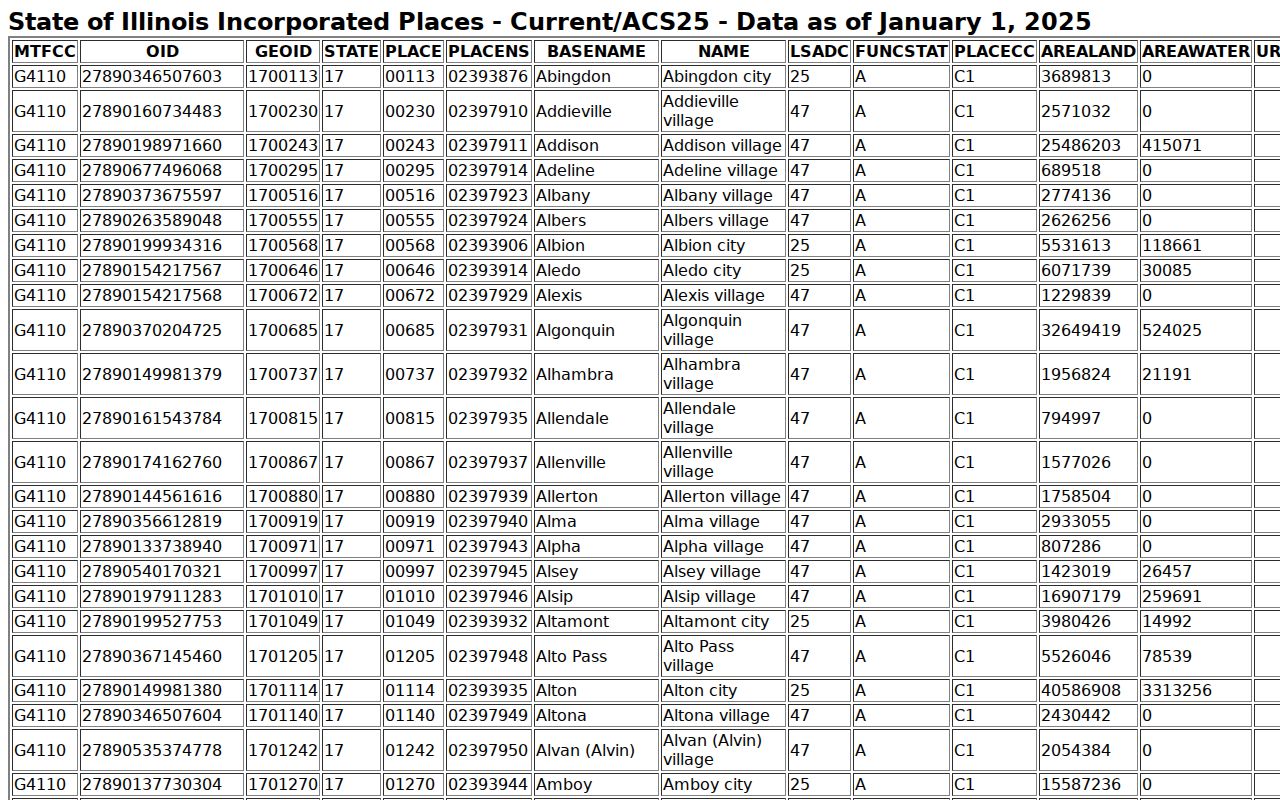
That boundary source concerns the incorporated place, not postal delivery. Resolve a disputed property through the current city and county map layers and any annexation ordinance.
- ZIP
- A five-digit postal delivery code.
- ZIP+4
- A more precise delivery segment appended to the base code.
- PO-box ZIP
- A code reserved mainly or solely for post-office boxes; none was verified for Belvidere here.
- Unique ZIP
- A code assigned to one high-volume recipient; none was verified locally.
- Carrier route
- A postal delivery path within a ZIP, not a municipal district.
Belvidere Address Geography Clues
Belvidere grew around the Kishwaukee River and Courthouse Square. The older core is roughly bounded in the survey by Menomonie Street, State Street, Hancock Street, and the river. Newer planning areas and county-edge parcels can use very different legal and postal clues. The West Hills plan, for example, describes a broad area from Squaw Prairie Road and Illinois 76 toward the river.
The Belvidere historic survey maps help distinguish historic district and structure geography from modern delivery areas.
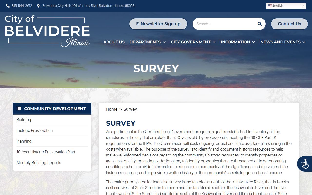
Those maps can explain why an old address belongs to a named historic area, but they do not assign a current ZIP code. USPS remains the source for delivery validation.
Recent planning and annexation materials around Brocket Trail, Red Deer Trail, Harbour at Beaver Creek, and the US Business Route 20 and Squaw Prairie Road area show why city-edge status must be checked against current records.
Separate Belvidere Mailing and Situs
A situs address is the physical location assigned to a parcel. The owner mailing address is where the tax notice goes. Boone’s ArcGIS sample includes an Owner ZIP of 61008 while its physical street-address field is blank for a rural legal-description parcel. That is a real local warning against turning owner mail into parcel geography.
Keep four values in separate notes: USPS-normalized delivery address, parcel situs, owner mailing address, and municipal status. Add the parcel PIN or PWD and legal description. If a street number is absent, retain the legal description rather than inventing an address. City Planning, GIS, or the assessor can help identify whether the mismatch is postal, mapping, annexation, or tax-record related.
Note: A Belvidere postal label can be correct for delivery while remaining inconclusive about the parcel’s city jurisdiction or current occupants.
Belvidere Addresses Before ZIP Codes
Old directories predate ZIP codes. The 1919 Belvidere directory should be searched by name, street number, and its street guide, not by a modern postal code. State Street divided east and west street references. Earlier sources also show East Street becoming Hurlbut Avenue and Baker once being Pearl. No official citywide renumbering year was verified.
Map an old address forward with directories, plats, Sanborn maps, legal descriptions, parcel records, and later telephone books. Then apply the modern ZIP code only after USPS verifies a current delivery address. Building removal, street-name changes, new subdivisions, and annexation are better explanations for many apparent conflicts than assuming the records concern different people.
The ZIP code directory therefore ends where historical street evidence begins. A 1904 Sanborn map or the city survey can connect the building and block, while the current parcel and USPS result establish today’s geography.